Object Detection and Image Classification
In fast-changing physical environments, clear documentation is critical—and hard to maintain. Identifying objects in context helps: streetlights with labels, cabinets with warning signs, vehicles on-site. All linked to location and time.
You get:
-
Reliable, visual records of what’s on the ground
-
Less manual effort, faster documentation
-
Searchable, geospatial insight into your environment
What It Can Do
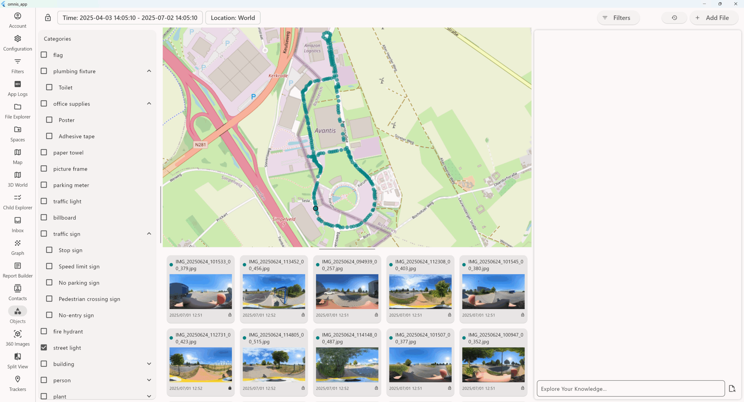
- It detects and classifies field photos, 360 walkthroughs, videos and more. Zero manual tagging.
-
Recognize over 3,000 object types—from machines to infrastructure
-
Anchor detections to real-world coordinates and timestamps
-
Support spatial queries like “all cranes in zone A”
-
Power visual audits, progress checks, and safety reporting
-
Use advanced object context to surface insights (e.g. “light pole number 52” or more connected info “emergency contact electrical box”)
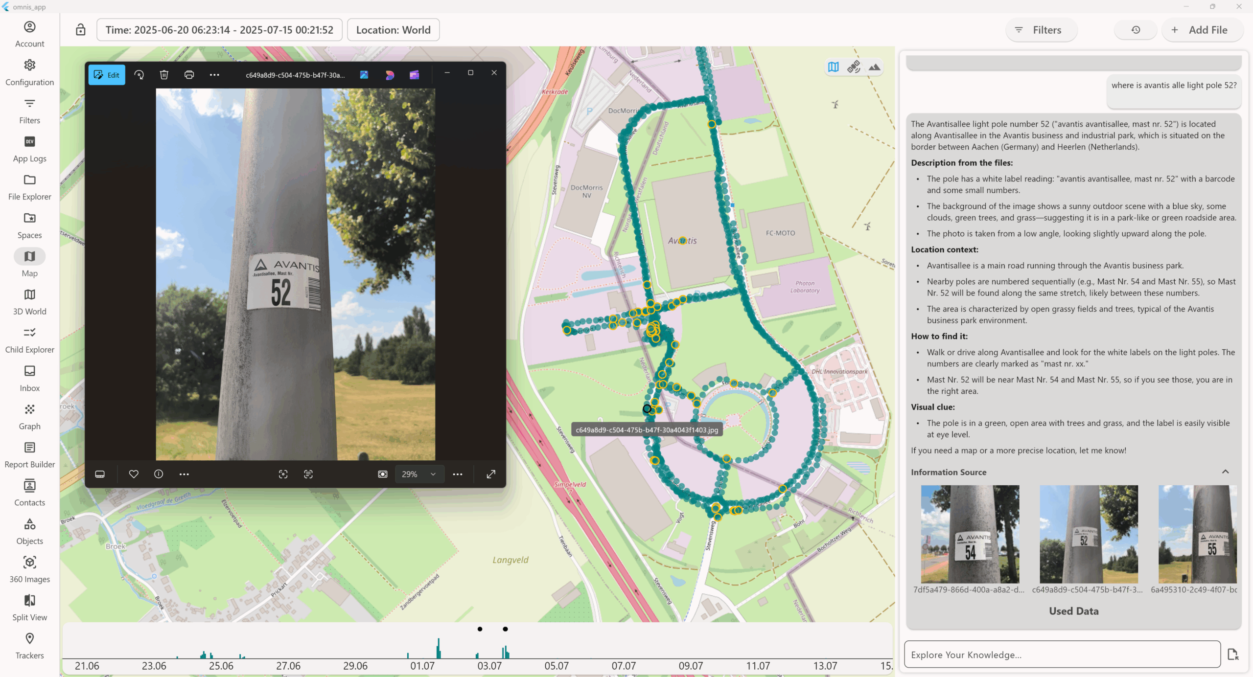
Use Case: Autonomous Asset Documentation via Single Photo
A technician simply takes a photo of a light pole label—no manual tagging, no input required. The system autonomously identifies the object as light pole Mast Nr. 52, reads the label, timestamps it, geolocates it based on visual and spatial context, and anchors it on the map. The asset is now permanently documented, searchable, and part of the knowledge base—just from one image. This applies to any field asset: walk, shoot, and it’s remembered.
Use Case: Excavator Logged on Site Automatically
With one photo, the system identifies the excavator, places it on the map, timestamps it, and records its context—no manual steps. The machine is now documented and searchable as part of the site’s activity history.


Use Case: Crane Presence Captured During Construction
One photo captures and logs the crane’s presence, linking it to time, place, and site progress. The equipment is now part of the project’s visual record—searchable, mapped, and chronologically anchored.
Use Case: Electrical Box Identified and Logged for Infrastructure Records
A quick photo captures an electrical box in the field. The system identifies it, locates it along Rutherford Street, reads safety markings, and links it to relevant maintenance info—making it fully documented and searchable for operational teams.
